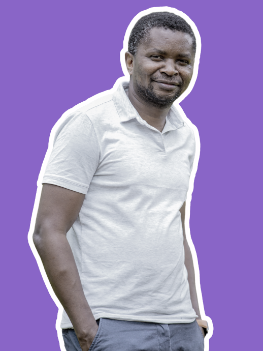
Msilikale
Msilanga
Areas of expertise
Community mapping combined with Free Open-Source Software (FOSS)
Urban resilience and data collection in the Global South;
Geospatial data sharing, platforms, and functionality;
Reliability and quality of community mapping data;
Biography
Since 2011, I have been actively engaged in international development projects, focusing on spatial planning, geospatial research, and community resilience. My journey began with the World Bank, where i was engaged with several small projects but one which i am proud of is the initiative which I led in Mozambique and Tanzania as a community mapping initiatives using geospatial tools such as drones and GIS software to support urban planning and disaster risk management. This included coordinating efforts to assess the impact of the Kagera earthquake on social infrastructure and enhancing flood resilience in Dar es Salaam through detailed mapping. I further been engaged in the larger urban resilience program namely “Tanzania urban resilience program (TURP)” (https://www.worldbank.org/en/programs/tanzania-urban-resilience-program#4) with the role of advancing the experience from the program in order to benefit youth and university staff by providing training to university staff, providing geospatial skills and engaging youth with practical experiences for future employability as well as establishing ways for sharing geospatial data for analysis and research.
I am currently a Senior Researcher at the Department of Geography and Geology at the University of Turku. Since 2018, I have been a Project Manager for the Resilience Academy (https://resilienceacademy.ac.tz/), a collaborative initiative between the University of Turku and five Tanzanian universities, funded by the World Bank and a project manager of the GeoICT4e project (https://geoict.org/), which aims to enhance geospatial and ICT education in Tanzanian universities, promote skills development, and foster digital competencies. My role has focused on coordinating content development with partner universities, organising project events, supporting students through multi-competence learning programs, managing training programs, facilitating capacity-building, and promoting sustainable practices for utilising geospatial data in urban resilience efforts.
I am conducting my doctoral research on urban resilience, focusing on the integration of geospatial data and community engagement in enhancing urban planning and disaster risk management.
Teaching
My teaching expertise focuses on Geospatial Databases and Spatial Data Infrastructure (SDI), with specialized emphasis on data quality assessment, management, and visualization. With over five years of teaching experience since 2018 at the Department of Geography and Geology, I have been primarily instructing at the MSc level. My teaching methodology incorporates comprehensive coverage of data standardization, metadata management, and spatial data visualization techniques. I integrate these technical aspects with practical applications in participatory land use planning and community mapping, utilizing open-source tools. Through my courses, students develop robust technical competencies in managing complex spatial databases, implementing quality control measures, and creating effective spatial data visualizations. This approach ensures they understand the practical applications of these technologies in urban and regional planning contexts. My instruction emphasizes both theoretical foundations and hands-on experience, preparing students to address real-world challenges in geospatial data management and analysis.
Currently I am teaching on the following courses:
MAAN7340 Participation, spatial planning and GIS 5 op
MAAN7764 Geospatial Data Management and Visualisation, 5 op
MAAN7771 Geospatial Data Management and Visualisation, 5 op
Research
My research interests is on enhancing urban resilience in African cities through data-driven solutions, particularly focusing on the application of geospatial technologies and data infrastructures including the development of robust spatial databases, implementation of quality-driven data management systems, and creation of effective visualization tools to support urban planning decisions. I am particularly interested in how spatial data infrastructures can be leveraged to address urban challenges in African contexts, including informal settlement mapping, urban service delivery analysis, research and climate resilience planning.